Forecasting Frost: Knowing Dew Point Temperatures is a good start.
December 16, 2022
Nobody can control the weather and the killer freezes that come every season. They are simply a fact of every grower's life. A good frost freeze forecast delivers the information needed to prepare for such an event. It takes a whole tool bag full of weather forecast variables to create a usable frost freeze forecast, but one of the many tools meteorologists have in forecasting frost and freeze events is the Dew Point Temperature.
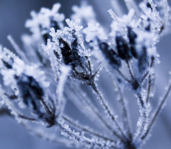
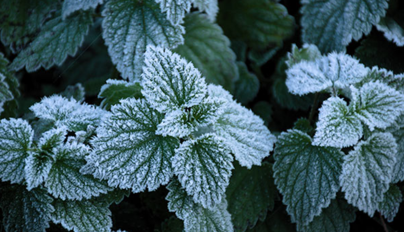
Frost forms when moisture is adequate and freezing temperatures occur. Dew point temperature can be very useful to determine if frost will form. Simply put, dew point is the temperature at which the air is saturated with water. The higher the dew point, the more water in the air. Dew point is always less than the air temperature, unless the relative humidity is 100%, then the dew point is equal to the temperature. As the air temperature cools on a winter night and approaches the dew point, the moisture in the air will condense out of the air and on to solid objects. The surface temperature of an object must be freezing in order for frost to form. Objects that radiate energy more efficiently tend to frost up first. Thin objects like leaves, small branches, and shoots, frost quicker than thick objects. The ground, particularly when moist, does a relatively good job of holding heat, so frost damage tends to occur at the top of vegetation. Frost can form when dew point temperatures and air temperatures are in the upper 30s. Patchy and scattered frost can occur in areas that typically run cold, low areas where cold air accumulates, the lee side of wind blocks, etc. In addition, dew point and temperature are measured at the standard height of five feet. It can be colder at ground level.
Prime dew point temperatures for widespread frost formation are in the upper 20s to lower 30s. When this occurs with freezing air temperatures, everything is in place for potentially heavy frost formation. Frost formation is less likely with dew point temperatures below the mid 20s. There just isn't enough moisture in the air for significant frost formation, even if temperatures are below freezing. The length of time conditions are favorable for frost formation determines the intensity of frost. The more time the dew point and air temperature hover around or below 30 degrees, the heavier the frost.
Dew point is not the entire story. Other factors also affect frost formation. Wind speeds above 5 MPH slow the radiational cooling of objects, inhibiting frost formation. Cloud cover reduces the effectiveness of radiational cooling. The thicker the cloud cover, the slower the cooling. Soils containing abundant water increase the risk for frost formation by putting more water into the equation, particularly in cases where the dew point temperature is in the mid 20s to mid 30s range. This may counteract the fact that wet soils retain heat better. With that said, forecast dew point temperature is a key factor in anticipating frost formation. While it does not necessarily give a conclusive answer, it will give you a significant heads-up alert. If you aren't getting dew point temperature from your current weather provider, you should be.
Contact AWIS | About Us