
|
|


| Current Area Weather Observations | ||||||||||
|---|---|---|---|---|---|---|---|---|---|---|
| Location | Time | Temp | Feels | Dew Pt | RH | Wind | Gust | Visibility | Press | Sky/Weather |
| KSAF | 10:53 AM | 56 | 56 | 23 | 28 | VAR/ 5 | 0 | 10.0 | 30.22R | Clear |
| KAEG | 10:47 AM | 59 | 59 | 23 | 25 | WNW/14 | 23 | 10.0 | 30.25R | Clear |
| KABQ | 10:52 AM | 60 | 60 | 29 | 30 | NNE/ 7 | 0 | 10.0 | 30.24R | Few Clouds |
| KCQC | 10:53 AM | 46 | 42 | 27 | 47 | ESE/ 8 | 0 | 10.0 | 30.28R | Clear |
| KBRG | 10:55 AM | 62 | 62 | 28 | 28 | NNW/ 7 | 0 | 10.0 | 30.25S | Clear |
| KONM | 10:55 AM | 65 | 65 | 28 | 25 | NNE/10 | 0 | 10.0 | 30.24R | Clear |
| See Below | MDT | deg F | deg F | deg F | % | Dir/MPH | MPH | miles | Inches | Sky/Weather |
| Graphics |
| Map of current observations |
| Map of today's forecast max |
| Radar Loops |
| National |
| Southwest Regional |
| New Mexico |
| Rail Runner Line |
| Forecasts | |
| NRRE Northern Area: | Text | 72-Hour | 7-Day Hourly |
| NRRE Central Area: | Text | 72-Hour | 7-Day Hourly |
| NRRE Southern Area: | Text | 72-Hour | 7-Day Hourly |
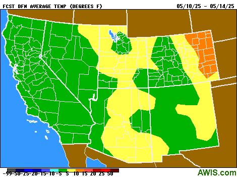
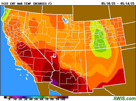
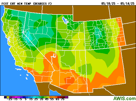
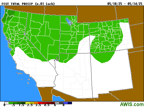
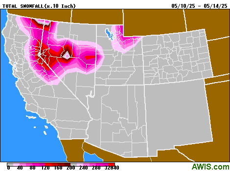
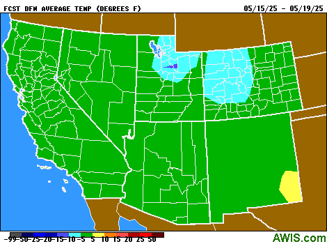
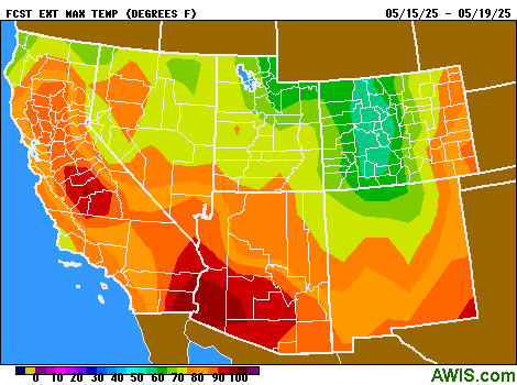
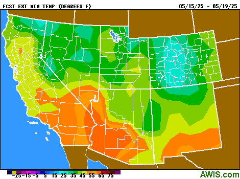
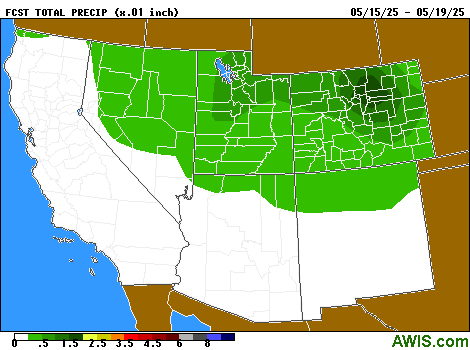
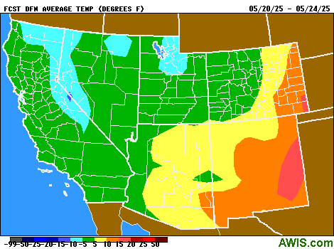
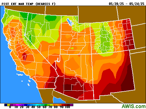
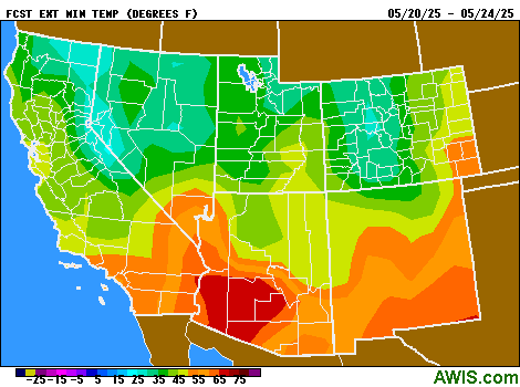
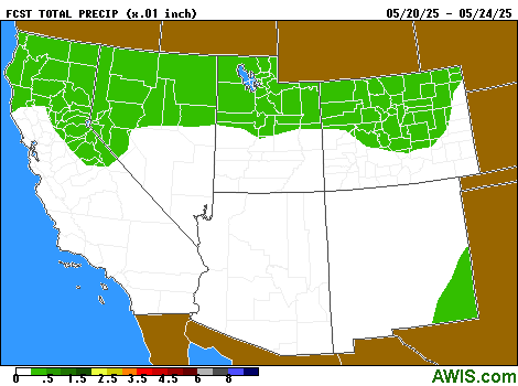
| 1-5 Day Maps: | DFN Temps | Extreme Max | Extreme Min | Total Precip | Total Snowfall |
| 6-10 Day Maps: | DFN Temps | Extreme Max | Extreme Min | Total Precip |
| 11-15 Day Maps: | DFN Temps | Extreme Max | Extreme Min | Total Precip |
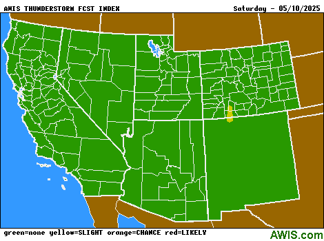
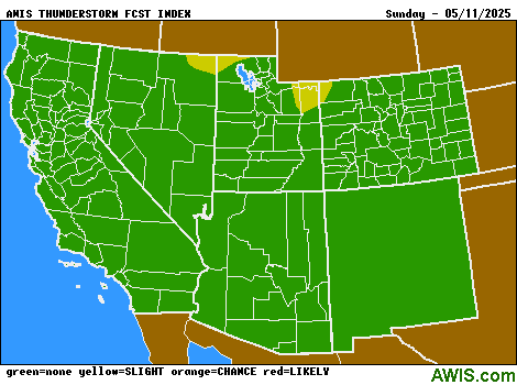
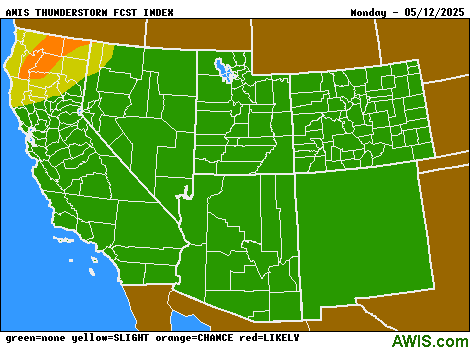
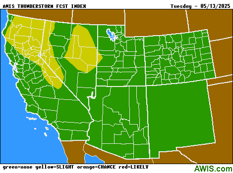
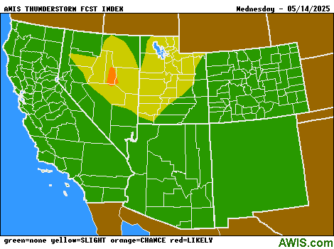
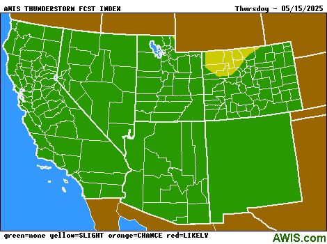
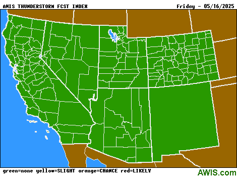
| Thunderstorm Maps: | Day 1 | Day 2 | Day 3 | Day 4 | Day 5 | Day 6 | Day 7 |
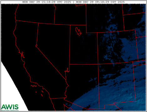
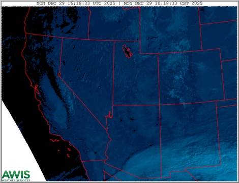
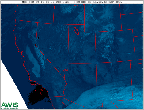
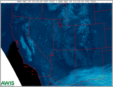
| Regional Satellite Loops |
| Visible |
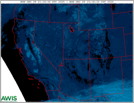
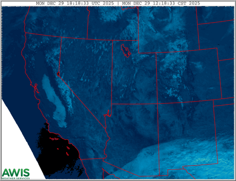
| Infrared |
| Hourly Radar Estimated Precip |
| 8hr NM REP |
| Weather Summaries |
| Yesterday's Weather |
| Precip Summary |
| Please report any problems.
©2026 Agricultural Weather Information Service, Inc. All rights reserved. Last updated Wed Mar 11 11:17:03 MDT 2026 |